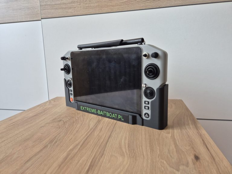
ALL IN ONE Bait Boat – EXTREME ONE Skydroid Live Demo Recap
Thank you to everyone who joined us for the live demonstration of the EXTREME ONE Skydroid system! It was a truly important day for us. We had the opportunity to show, in real conditions, how our system performs in practice and what a decisive advantage comes from the full integration of autopilot, sonar and camera within a single ALL IN ONE platform.
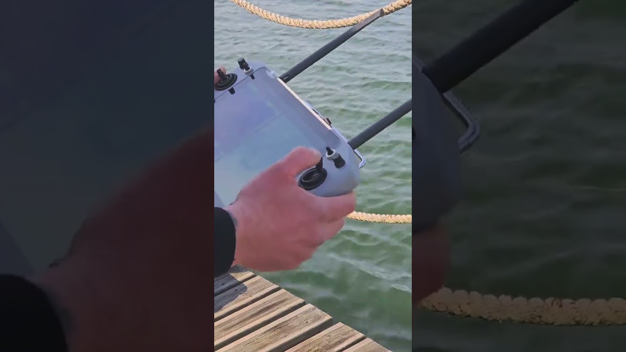
Watch a short recap of the demo on YouTube – https://www.youtube.com/shorts/f9KcfqaSmGo
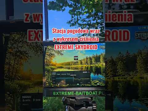
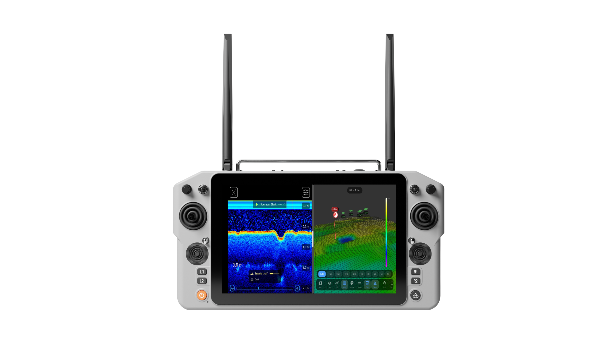
EXTREME-MASTER SONAR S300 – AI bottom recognition in real time
During the presentation we showcased the capabilities of the EXTREME-MASTER SONAR S300 – how precisely it renders the bottom and how it distinguishes between:
- Hard and soft bottom – AI classifies the structure on the fly
- Vegetation – revealing the density and type of bottom coverage
- The structure of the swim in real time – plateaus, edges and depressions
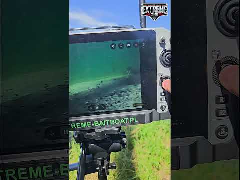
Most importantly, we paired the sonar data with a real underwater image from the drop camera, so that every guest could see how it looks 1:1 in reality, not only on the sonar chart.
4 boats simultaneously on the same water – zero interference
Out on the water, 4 boats were operating side by side at the same time, all running the EXTREME ONE Skydroid system – without any interference, dropouts or signal loss. There is no better illustration of the stability and refinement of the entire solution, in particular the drone-class radio with self-healing dual-band (2.4 GHz + 5.8 GHz), which automatically routes around interference coming from other boats.
What we demonstrated in detail
- Camera quality – navigating directly under the reeds by the island and showing precise control around obstacles
- 2D and 3D bathymetry together with the full mapping workflow – the bait boat maps the area autonomously while the angler sets up the rods
- Virtual rods feature – visualising rigs on the map and on the echogram
- AI bottom detection system – thanks to which even an angler with no prior experience can clearly understand what is actually beneath the boat
A bathymetric map alone is not enough
The demonstration made one thing perfectly clear: a bathymetric map on its own is not enough. Without combining it with a real bottom scan, vegetation data and the precise sonar image, it is very easy to draw the wrong conclusions. Choosing a spot based purely on depth is a dead end if the bottom is silt or dense vegetation.
EXTREME ONE brings bathymetry + bottom scan + AI classification + underwater camera image together on a single screen. This is the genuine advantage delivered by a fully integrated ALL IN ONE system.
Thank you
Once again, thank you for being there, for every conversation, every question and every bit of interest you showed. It is precisely thanks to you that we can keep developing EXTREME ONE in a direction that delivers real value on the bank.