
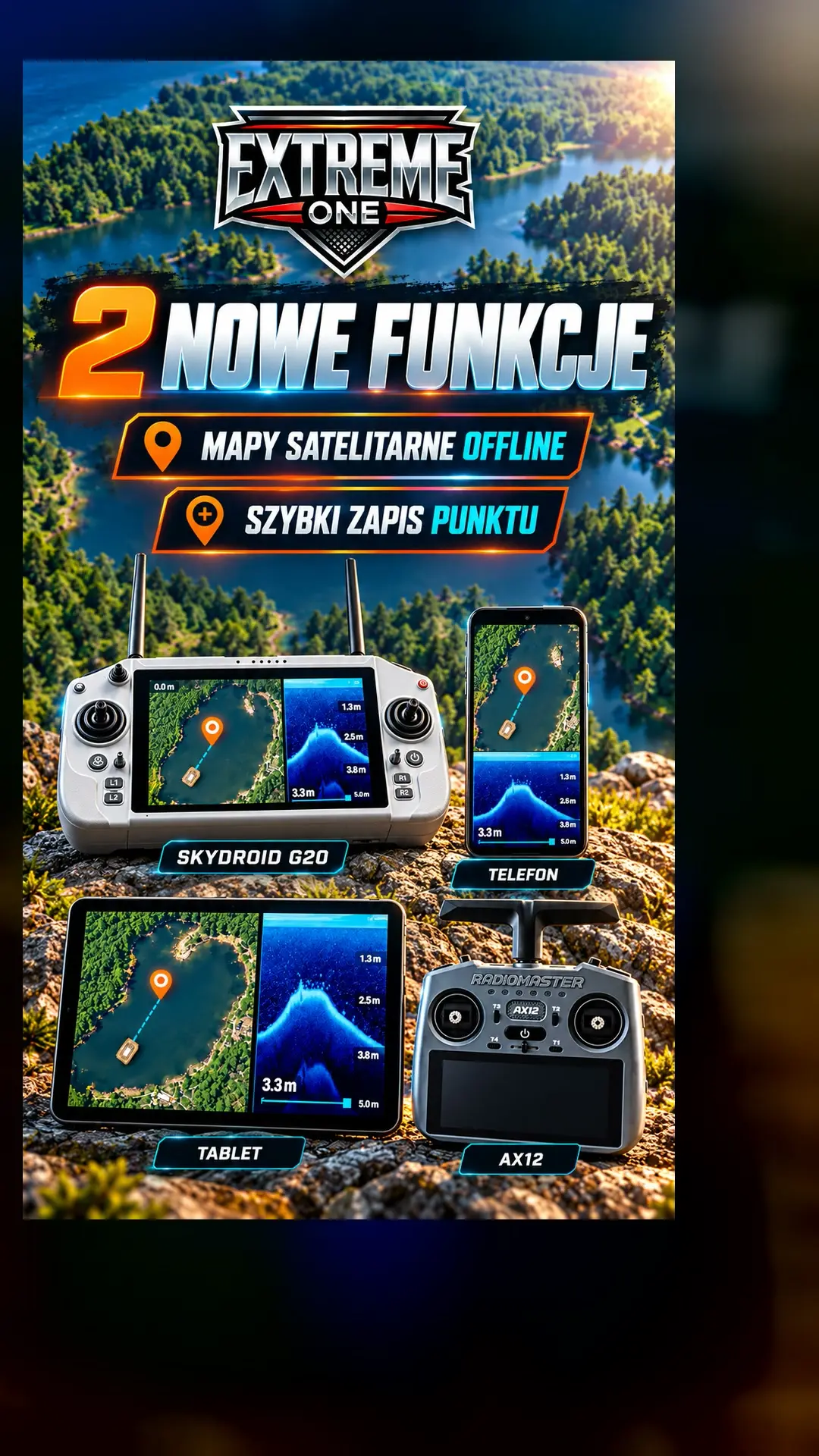
Offline satellite maps and quick point saving in Extreme One
Offline satellite maps and quick point saving are two features that come in handy when working on the water. The first lets you prepare a base map before you leave. The second saves an interesting spot at the moment the boat is passing over it.
How to download offline satellite maps
- Find your lake on the road map.
- Select an area of up to 50 km² and request the map to be prepared and downloaded.
- When the download is complete, choose the offline satellite base map. Downloaded sections are shown together, without activating each one manually.
Offline maps require a device registered to your account. If you have an Extreme One device, open Devices and register it. It is best to finish the download before travelling to a place without internet access.
An orange point without stopping the run
An interesting return appears on the sonar recording? Tap the orange pin with the lightning bolt. The app saves the boat’s current position, and the boat can keep going to its chosen destination. The point is orange, so it is easy to tell apart from other markers.
Later you can give it a name, turn it into a regular point or select it as a destination. It is a convenient way to remember a spot for calmer analysis.
Phone screen or transmitter button
On a phone or tablet you use the on-screen icon. On the Skydroid G20 you can assign quick saving to a key, for example R1. In the video we show the configuration on a visual diagram of the transmitter and how the feature is triggered while the boat is moving.
Offline satellite maps: check the area before downloading
The easiest way is to start with the road base map and find the right lake. Then adjust the selection to the place where you plan to use the boat. Include the banks and surroundings you need for orientation, but do not choose a large area just because the limit allows it. A smaller, deliberately chosen section is easier to prepare before the trip and to check after downloading.
Offline satellite maps require the preparation and download to be completed on a specific device. A message saying the process has started does not yet mean the whole area is available without internet. Before leaving home, open the base map and look at the section you need. That way you can be sure you will be able to use it where the network connection is weak too.
Several downloaded sections on one map
If you have saved different areas, the app shows the available sections together. You do not need to manually activate a separate section each time you change location. When you zoom out, it is easier to see which areas are already on the device. When you zoom in, you can go into the details of the chosen lake and compare the base map with saved markers.
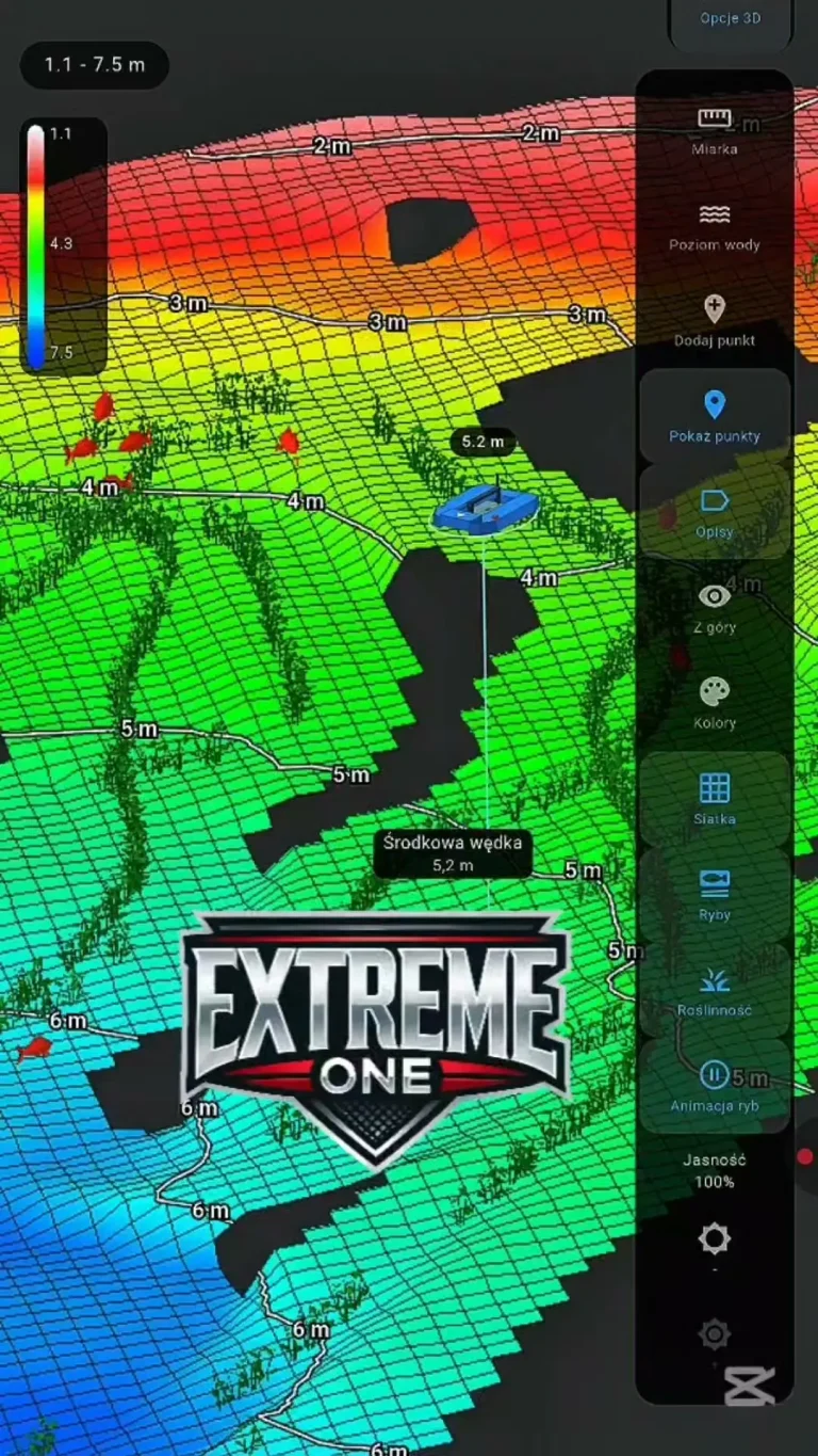
Offline satellite maps concern the image of the surface and surroundings. Depths and the bottom model come from separate sonar measurements. This is an important distinction when preparing a swim: the downloaded base map helps you orient yourself, and the bathymetry shows what has been scanned. Both kinds of information can be used together, but they answer different questions about the lake.
Quick point saving while the boat is moving
A useful moment often comes when the boat is already on its way. You notice a change in the bottom profile or an interesting return and want to come back to that spot later. Quick saving remembers the boat’s current position without requiring you to stop the run immediately and describe the whole swim in detail. The orange marker lets you find it again afterwards.
Remember that the save refers to the boat’s current position at the moment you use the feature. If you are interested in a reading from a while earlier, return to the saved sonar recording later and analyse the relevant part of the history. This helps distinguish quickly marking a spot during a run from calmly searching for points in the recording after you have finished.
How to set up a transmitter button
Choose a physical key you can easily find without looking at your hands. In the presentation we use the Skydroid G20 visual panel and R1 as an example. After saving the assignment, check that pressing it triggers the expected function. Then, when an interesting return appears, you can quickly mark the spot and add the name and further description at a convenient moment.
Offline satellite maps and quick points complement each other during a single trip. You prepare the first in advance and use the second when an interesting reading appears. When you get back, look through the saved orange markers, compare them with the scan and decide which ones are worth returning to. It is a simple way to keep observations that are easy to miss while steering the boat.

 Karpik Kroczek, asystent Extreme One