
Offline maps, Toslon and AX12: new features and plans for 11 November
Extreme One offline maps have new themes, and the list of fish finder integrations keeps growing. In the presentation from 16 October we show the direction of the system’s development and the preparations for the official AX12 launch, planned for 11 November.
Offline maps suited to conditions on the water
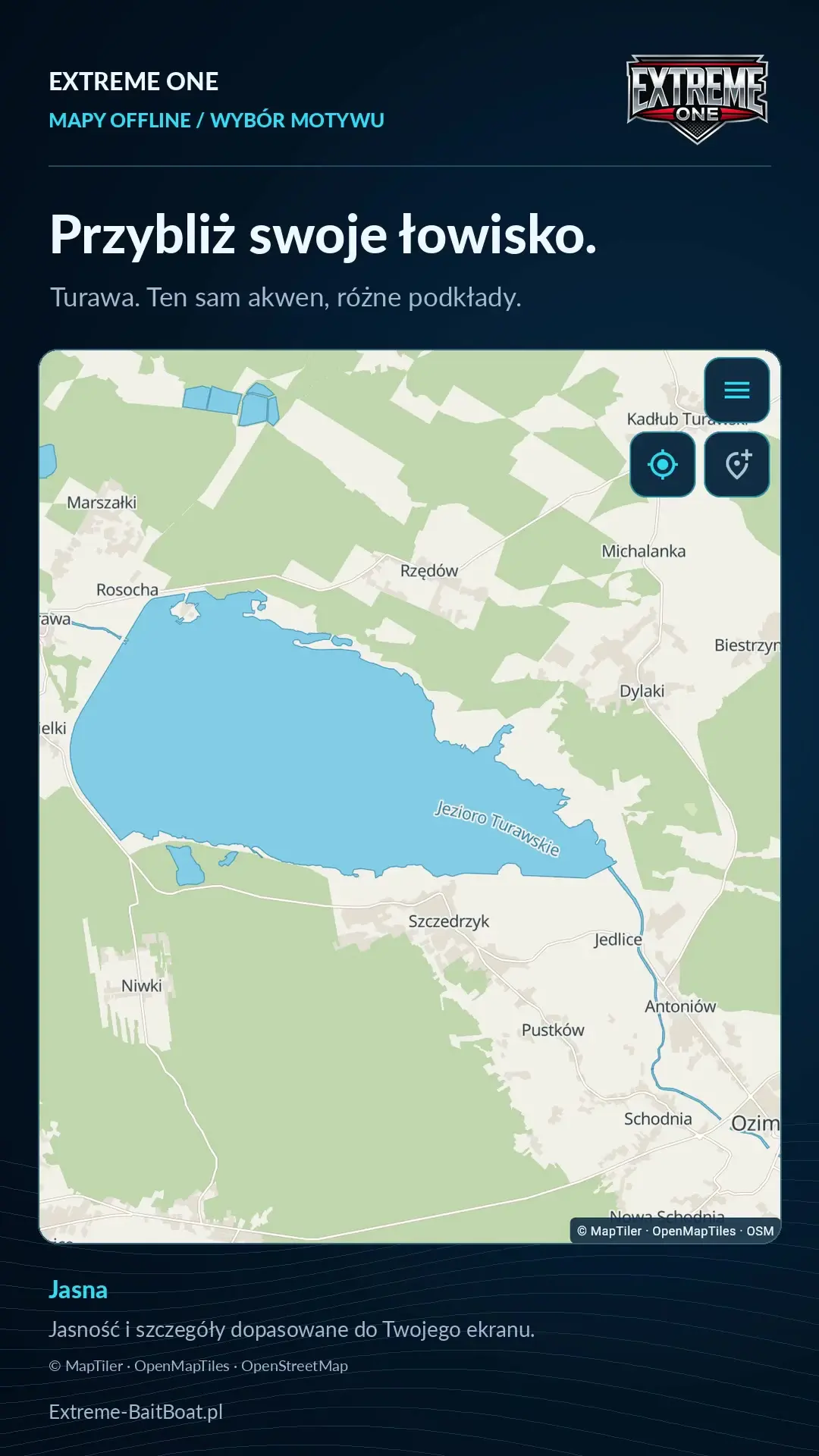
You can choose base maps with different brightness and levels of detail. You download a region before your trip and then use it on the water without internet. Offline maps are available on an account with a registered Extreme One device. If you have a device, add it in the Devices section.
Toslon TF500 and TF520 and further integrations
Toslon TF500 and TF520 join the configurations presented. We thank Krzysiek for lending the TF500 and Masterboat for the TF520. Reception on an Android phone or tablet and integration with the AX12 use suitably chosen modules and software.
In the video we also announce further development of TF640 support, Raymarine and Vexilar integrations on the AX12, and work related to Deeper and the Extreme Master Sonar S50. This is a record of the plans presented on the day of publication, and later posts show their progress.
New perspectives and a Polish system developed with its users
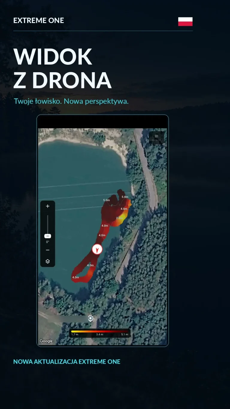
The drone view and further perspectives are meant to make analysing a fishery easier. We are also developing an iOS version. Existing beta testers of the system can register their interest in the next tests. Their feedback helps us refine features before releasing them to everyone.
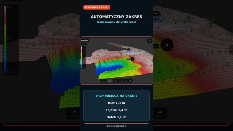
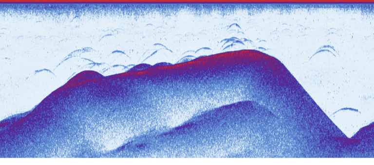
The video also features a scan of Uroczysko Karpiowe from the S300 fish finder, shared by Mateusz Łaszkiewicz. Thank you for the material and for all the ideas that help develop Extreme One.
Extreme One offline maps: choosing a theme before your trip
It is worth judging a theme on a section of map similar to the one you will use on the water. Zoom in on the lake, check how readable the bank and names are, and see how the base map looks next to the app’s markers. A light map may be convenient in different conditions than a dark one. It is not only about appearance, but also about recognising information quickly while operating the device.
You prepare Extreme One offline maps while you have internet access. Once the download is complete, open the selected region and make sure it covers your planned trip. That way you can focus on the fishery when you are on the water. The downloaded base map is a reference for position, while information about the shape of the bottom comes from measurements taken with the fish finder.
The base map and bathymetry are different information
A road or satellite map helps you find the lake, recognise the bank and get your bearings. Bathymetry shows the depths measured during scanning. It is worth distinguishing between these layers when comparing material from the video. Downloading a map of an area does not mean you get a ready-made bottom survey of every lake on it. You build that knowledge from your own or shared scans.
In the presentation, Extreme One offline maps are the starting point for more convenient work on the water. You can adjust the theme and later combine orientation on the base map with analysis of real readings. The Uroczysko Karpiowe example shows exactly the second part of this process: a model created from fish finder data, not from a satellite image or the outline of the lake alone.
Toslon TF500, Toslon TF520 and choosing a receiver
In this video we thanked the people who lent equipment for the integration work. Each model required checking how data is received and displayed. That is why, when choosing a set, it is worth giving the exact sonar model and the platform on which you want to use it. A phone, tablet and transmitter do not have to use the same communication path.
A later post about the new opening for Toslon shows the results of further work on the AX12. Keeping these posts separate lets you follow the development: here we present announcements and direction, there a real sonar recording and a model from TF520 v2 data. The date of the material matters, especially when you compare devices listed as available with those still being worked on.
What to prepare before talking to a distributor
Note the transmitter model, the fish finder model and whether you plan to view data live or mainly analyse saved scans. If you are interested in Extreme One offline maps, also check that the device is registered on your account. This information helps to choose the configuration and explain which parts of the system you need.
In this presentation the official AX12 launch was announced for 11 November. The other plans should also be read in the context of the post’s date. Extreme One offline maps are developing alongside sonar support, so later videos show new uses and changes. The links below lead to specific presentations worth watching after this introduction.
See also
Offline satellite maps and quick point saving in Extreme One
Toslon on AX12: a new opening for TF500, TF520 and TF640
 Karpik Kroczek, asystent Extreme One