
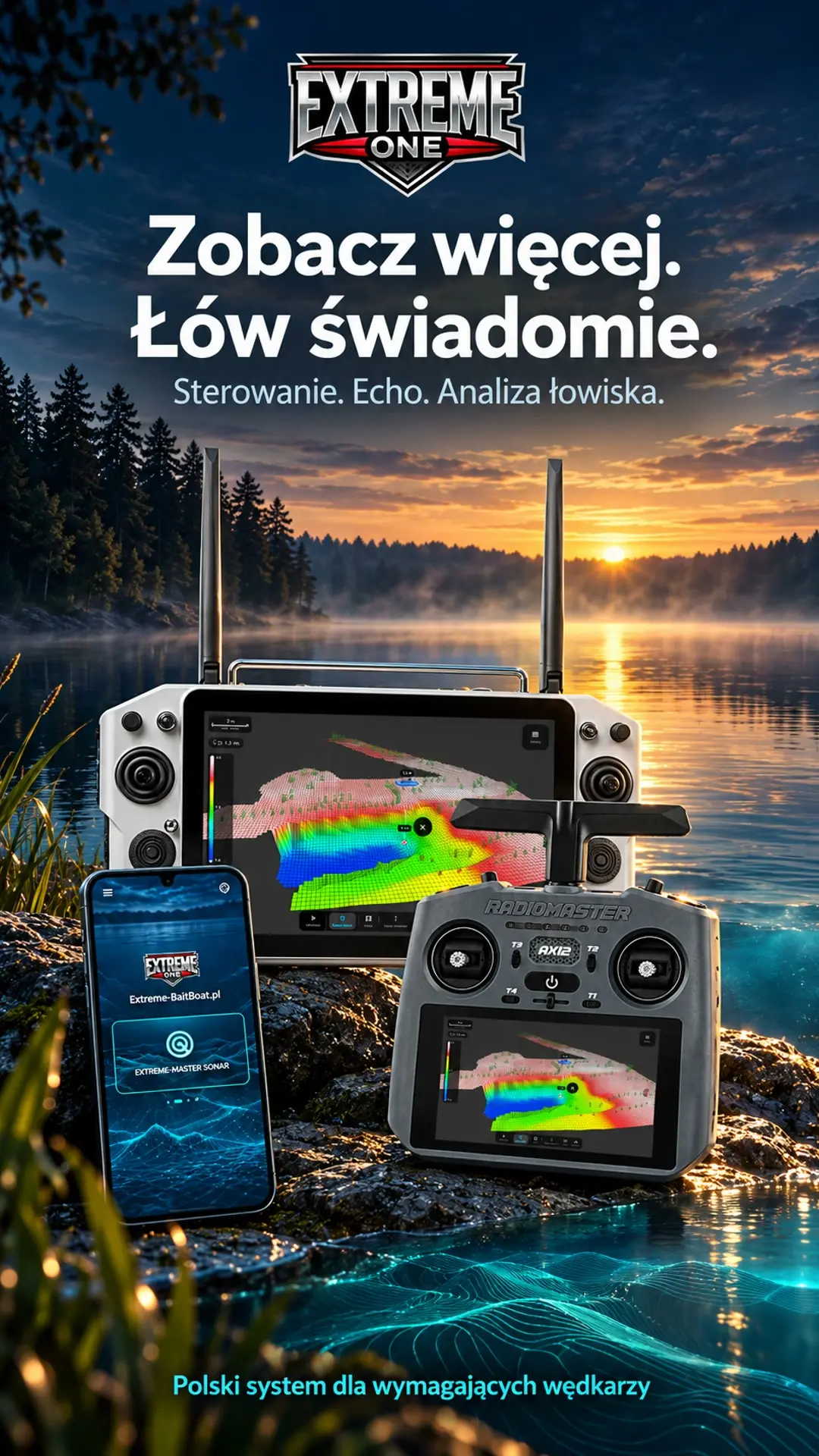
Extreme One: fish finder, autopilot and 3D maps in one system
Extreme One brings together a fish finder, a map, an autopilot and the angler’s saved observations. The system presentation shows the path from measurements on the water to analysing the bottom and planning the next bait run.
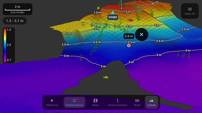
Sonar recording, 2D bathymetry and 3D model
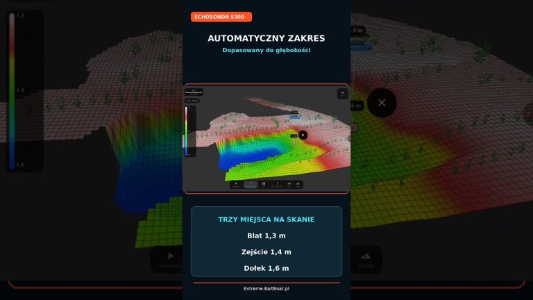
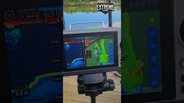
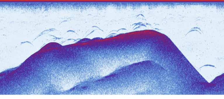
Saved readings help you find the end of a plateau, a drop-off or a small hole. In the video we show sonar recordings in the Spectrum Blue and amber Downvision palettes, bottom models and a visualisation of detected returns from vegetation and fish.
From swim to boat route
Waypoints, quick saving of a spot while the boat is moving and return with virtual line avoidance let you combine scan analysis with planning a bait run. Several anglers can use one transmitter while keeping separate profiles and rig markers.
The drop history distinguishes between a rig with bait and bait alone. You can add bites, bait information and photos to your observations. That way you can come back to your own experience of a particular spot.
Choose your system configuration
- PREMIUM: Skydroid G16, G20 and G30 transmitters.
- ECONOMY: RadioMaster AX12, with the official sales launch announced for 11 November.
- Android phones and tablets for compatible connections and analysis of saved data.
The system supports various Extreme Master Sonar, Raymarine, Vexilar and Toslon configurations. The connection method is matched to the fish finder and the transmitter. Specific models are not interchangeable across all platforms.
Polish service and development together with users
The app includes chat, bug and idea reports, and Karpik Kroczek, who helps you get to know the features. Your feedback shapes many of the next improvements. The video shows the state of the system and the plans presented on 20 October 2026.
Extreme One: how information from the whole trip fits together
The first stage is getting to know the fishery. The sonar reading shows successive returns, and the boat’s position lets you relate them to a place on the map. Then you analyse the saved area and choose the sections worth checking more closely. Only on that basis do you prepare points and a plan for the next bait runs. The individual tools make the most sense when you use them in this order.
Extreme One lets you return to earlier observations rather than treating each run as a separate, unrelated event. A bottom model, a saved point and information about a rig can all concern the same place. When you later compare your fishing results, it is easier to remember what caught your attention in that part of the lake and why you placed your rig exactly there.
Extreme One: fish finder and autopilot during a bait run
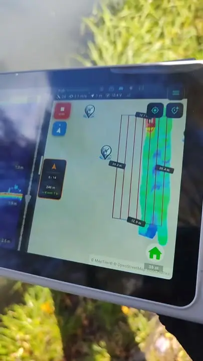
The sonar provides information about the water and the bottom, while saved targets and waypoints are used to plan the boat’s movement. It is worth keeping these roles separate while learning. First get to know the sonar recording and the map legend, then how to choose a target and preview the route. This makes it easier to understand which feature is responsible for each action shown in the presentation.
If an interesting return appears while the boat is moving, a quick point lets you remember the current position. You can do the full analysis later, when you are no longer steering the boat. On the way back from the rig, saved virtual lines and the planned avoidance points help. Each of these tools relates to a specific stage of work, which is why the video shows them in the context of the whole trip.
Angler profiles and observation history in Extreme One
One transmitter can serve several people. Separate profiles help organise their swims and rig markers on a shared map. When you fish together, it is worth keeping these records up to date and using clear names. That makes it easier to recognise who a selected point belongs to and which line layout should be taken into account when planning the return.
Extreme One also gives you space for observations from the fishing itself: drops, bites, baits and photos. A bottom model alone does not tell the whole story of a session. Only by combining the place with what actually happened during the trip can you draw your own conclusions. You decide which information to save and which to come back to when planning next time.
Skydroid, AX12 or a phone?
The choice of platform depends on how you use the system and which fish finder you have. Transmitters have their own buttons and control layout, while a phone or tablet is also useful for viewing recordings away from the water. Before choosing a configuration, it is worth giving the service centre the exact models of your devices. The mere appearance of a sonar’s name in the presentation does not yet determine how it connects to every screen.
We develop Extreme One based on practical use and user feedback. A report describing the successive steps, with a video and information about the device, helps us understand the problem faster. The presentation gives an overview of the possibilities, and our other news posts contain separate guides to specific features. It is worth starting with this overview and then moving on to the topic you need for your next trip.
See also
Drone view: tilt the map and return to an interesting spot on the sonar recording
Toslon on AX12: a new opening for TF500, TF520 and TF640

 Karpik Kroczek, asystent Extreme One