
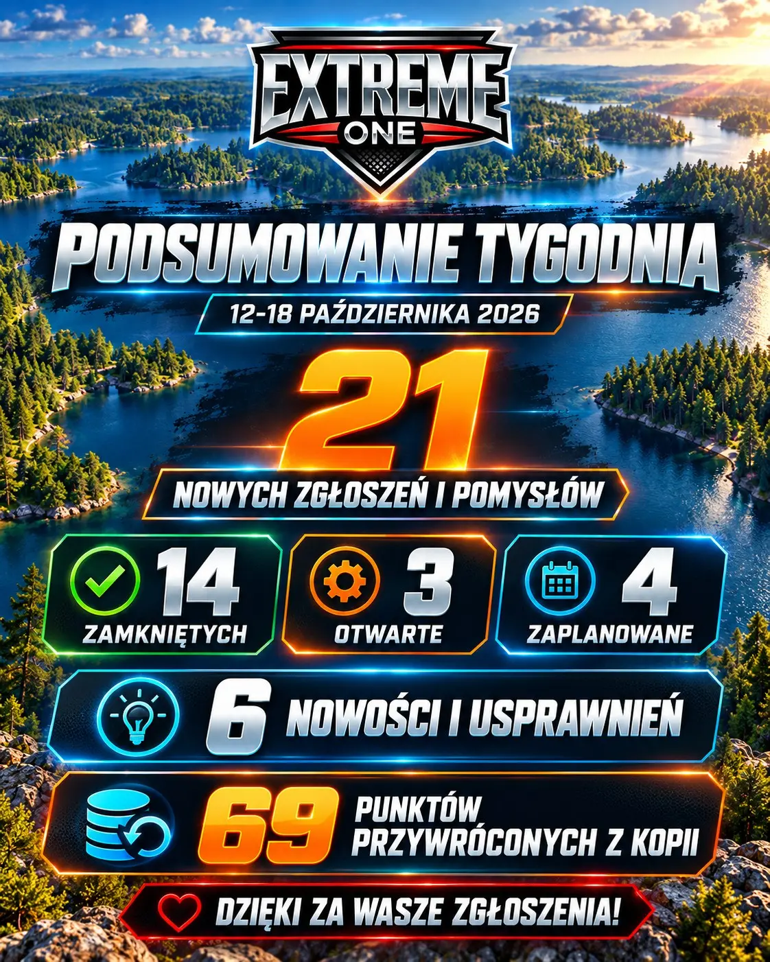
Extreme One weekly summary: 21 reports and 6 new features for 12-18 October
The Extreme One summary for the week of 12-18 October 2026 covers 21 new reports and ideas. In the overview published on 19 October, 14 topics were closed, 3 were open and 4 were marked as planned.
Six new features and improvements
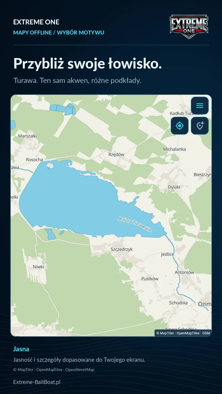
- New offline map themes with different brightness and levels of detail.
- Offline satellite maps covering up to 50 km², with downloaded sections displayed together.
- Quick saving of an orange point while the boat is moving.
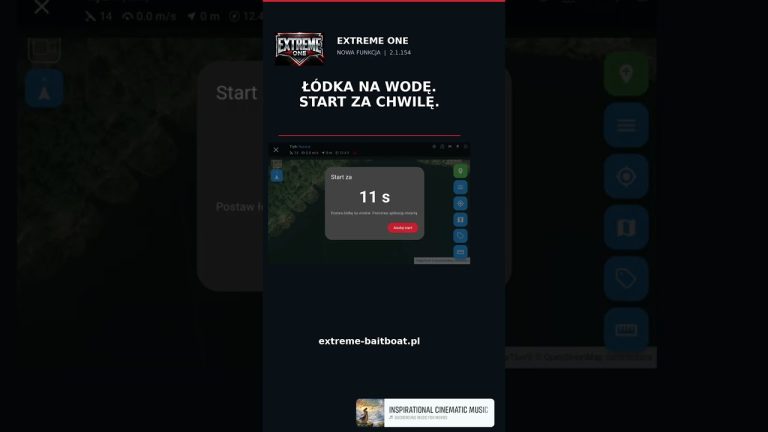
- Return with virtual line avoidance on Skydroid and AX12.
- Support for Toslon TF500 and TF520 v2 in the appropriate configurations.
- Adjustable label size next to the point icon size settings.
69 points restored from a backup
There was also a small rescue mission: one user experimented with the app so thoroughly that he ended up deleting all their points. The backup saved the day and 69 points were put back in place. Experiment complete, and our friend can get back on the water.
We thank Krzysiek for lending the TF500 and Masterboat for the TF520. We also thank you for the descriptions, photos and recordings attached to reports. They help reproduce problems and check whether fixes solve them in practice.
The figures refer to the week and the state on the date of the summary. Offline maps are available for accounts with a registered Extreme One device.
Extreme One summary: what the report figures mean
The number 21 refers to new topics from a specific week. It is not the total of all issues that have ever appeared in the system. The split into 14 closed, 3 open and 4 planned describes the state of this particular group when the post was prepared. This distinction makes it easier to compare successive summaries and shows what the counters actually refer to.
The Extreme One summary includes both problem reports and suggestions for changes. A closed topic does not always mean the same action: sometimes a fix was needed, sometimes an explanation of how to use a feature or a data restore. A planned idea remains a proposal for further development. The status alone should not be read as a promise of a specific release date for each new feature.
Maps and quick marking of spots during a run
The new map themes help you match the base map to your screen and lighting conditions. You choose the brightness and level of detail that are easy for you to read. With satellite maps, it is important to complete the download before the trip. Because saved sections are displayed together, you do not need to activate each area separately when you change your view of the lake.
The quick point solves a different, very practical problem. While the boat is moving you notice an interesting spot, but you do not want to describe it in full straight away. The orange save lets you come back to this observation later. So the Extreme One summary shows changes that concern both preparing for a trip and a single action carried out on the water.
The boat’s return and map readability
When avoiding virtual lines, an up-to-date record of the rigs and a preview of the waypoints are what matter. The feature was shown on Skydroid and AX12 transmitters as an aid to planning the return after a drop. Separate angler profiles make it possible to take into account the markers of several people using one app. This is a different scope from defining Fishing Zone boundaries.
Label adjustment is a smaller change, but with a large number of points it can make the app more comfortable to use. Icon size and label size meet two different needs. You may want to see the symbol clearly while limiting the space taken up by the name. It is exactly this kind of everyday feedback that often comes up in conversations with users working on different screens.
Extreme One summary and the point restore
The story of the 69 restored points concerns a specific report and the repair carried out. The user deleted their markers, and the available backup made it possible to restore them. It is a good example of why it is worth describing exactly what happened before data disappeared. The order of actions helps distinguish accidental deletion from a problem with display or library synchronisation.
The Extreme One summary also records our thanks to the people who lent equipment for developing Toslon support. Krzysiek helped with the TF500, and Masterboat with the TF520. Users’ tests, photos and recordings provide information that a feature description alone cannot replace. They make it possible to compare expectations with how the set actually behaves on the water.
If you report another topic, write which device you are using and what steps led up to the problem. A short video of the whole sequence usually explains more than a single frame. Material like this helps move from a general description to a specific fix, and then to checking whether the solution works in the same situation after the update.
See also
Offline satellite maps and quick point saving in Extreme One
Avoiding virtual lines when returning HOME
 Karpik Kroczek, asystent Extreme One